Hi, my name is

Forrest

I use SAR satellites to monitor the Earth
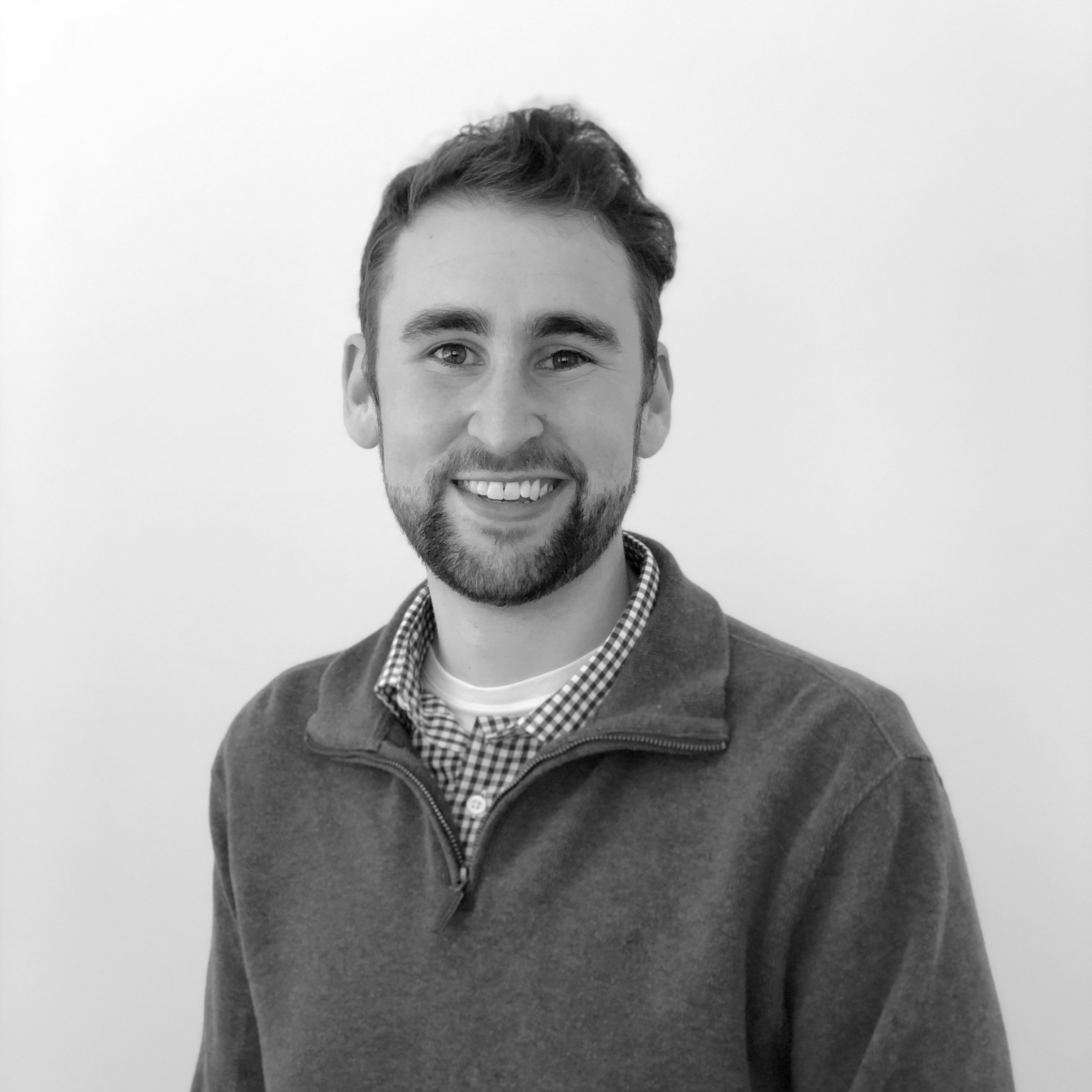
 profile image

About Me

 profile picture

I am a Senior Radar Systems Engineer with a passion for expanding what we can do with SAR. I have a PhD in geology and radar remote sensing and am an accomplished software engineer.

I currently work at Ursa Space Systems, where I co-lead a commercial airborne moving target identification (AMTI) project.

My Technical Focus:
  • Radar signal processing
  • AI-driven SAR analysis
  • MTI
  • Edge computing
  • Python & C++

Experience

Senior Radar Systems Engineer - Ursa
Nov 2025 - Present

At Ursa I co-lead a commercial airborne moving target identification (AMTI) project and serve as one of Ursa’s primary radar experts. This includes:

  • Co-leading a commercial airborne moving target identification (AMTI) project
  • Developing cutting-edge SAR signal processing algorithms
  • Developing a Claude Skill for SAR intelligence
Senior Research Software Engineer - ASF
Apr 2022 - Oct 2025

At the Alaska Satellite Facility I worked within a dedicated software engineering team to design new SAR products and services. This work included:

  • Developed MultiRTC, a Python pacakge for mulit-mission RTC processing
  • Lead the development of ASF’s Displacement Portal
  • Lead the development of ASF’s Sentinel-1 burst offerings
  • Participating in NASA Disaster’s disaster response activities
  • Lead tutorials and workshops on SAR data usage for the NASA community
Signal Processing Intern - JPL
May 2019 - April 2022

While I was a graduate student, I interned with at the Jet Propulsion Laboratory (JPL). This work included:

  • Used open-source InSAR tools and UAVSAR data to track fault and landslide movement across California
  • Developed UAVSAR time-series processing workflows that were used as the basis for NISAR validation product creation
  • Explored multi-stage InSAR unwrapping algorithms using SNAPHU
Remote Sensing Data Scientist - ISU
May 2019 - April 2022

While pursuing my PhD, I worked part-time as a remote sensing data scientist at Iowa State University. This work included:

  • Built a machine learning model to facilitate the prediction of U.S. crop residue cover measurement
  • Designed image processing workflows within Google Earth Engine

Education

2019 - 2022
Doctor of Philosophy in Geoscience
Massey University, New Zealand
  • Used Python’s geospatial libraries and Sentinel-1 SAR data to monitor natural hazards
  • Utilized machine learning models to analyze patterns in landslide occurrence
  • Contributor to open-source SAR data analysis platforms (ISCE2 and MintPy)
2017 - 2019
Masters of Science in Environmental Science
Iowa State University
  • Built and tested an ESRI Python toolbox for surface water detection and river monitoring
  • Managed a multi-year field research project
  • Presented at four conferences and won two student research presentation competitions
  • Recieved a Graduate Certificate in GIS
2012 - 2016
Bachelors of Art in Geology
Carleton College
  • Participated in two geology field camps in Italy and New Zealand
  • Recieved an award for outstanding undergraduate research
  • Co-founder of Carleton’s running club

Open-Source Projects

MultiRTC
SAR Multi-Mission Terrain Correction
MultiRTC
I'm the creator and lead developer of MultiRTC. A python library for creating ISCE3-based RTCs for all modern SAR missions (eventually).

Get in Touch

My inbox is always open. Whether you have a question or just want to say hi, I’ll try my best to get back to you!